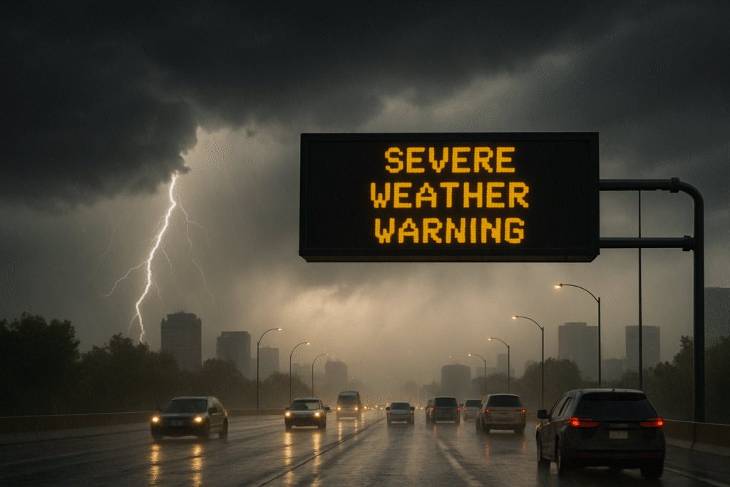
A powerful storm system is sweeping across the Northern Plains and Upper Midwest, bringing life-threatening conditions to cities including Minneapolis, Fargo, Sioux Falls, and Duluth. On August 8, 2025, the National Weather Service (NWS) and the Storm Prediction Center (SPC) issued multiple severe weather warnings affecting over 5.5 million people across four states: Minnesota, North Dakota, South Dakota, and Wisconsin.
What Travelers Need to Know
The storm system, fueled by strong atmospheric instability, began its impact late on August 7 in eastern Montana and North Dakota, and is expected to intensify across Minnesota and neighboring states through August 8. Travelers in these regions should prepare for widespread travel delays, possible power outages, and potentially hazardous conditions on the roads and at airports.
Key risks include:
- Damaging wind gusts over 60 mph
- Large hail with potential to damage vehicles and buildings
- Tornadoes, especially in open plains and suburban areas
Cities Most Affected
- Minneapolis, Minnesota: Facing potential power outages, travel delays, and damaging hail. Travelers at Minneapolis-St. Paul International Airport are advised to check for cancellations.
- Fargo, North Dakota: Expected to experience high winds and large hail; residents should prepare for emergency power interruptions.
- Sioux Falls, South Dakota: Severe thunderstorms forecasted, with a risk of flooding in low-lying areas.
- Duluth, Minnesota: Heavy rainfall could lead to urban flooding; caution is advised along waterfronts.
Travel and Tourism Impact
Air travel across regional hubs including Minneapolis-St. Paul, Hector International Airport (Fargo), and Sioux Falls Regional Airport may be delayed or canceled. Ground transportation routes like Interstate 94, I-29, and Highway 52 are also expected to face delays due to falling debris, flooded roads, and poor visibility.
Tourists and local travelers are encouraged to:
- Recheck flight and train schedules
- Avoid non-essential travel during peak storm hours
- Prepare for temporary closures of tourist attractions, parks, and festivals
Safety Measures During Severe Weather
To stay safe, travelers and residents should follow NWS guidance and local emergency alerts. Key safety steps include:
- Shelter in a Safe Room: Choose an interior, windowless room on the lowest floor.
- Stay Informed: Use weather apps, NOAA Weather Radio, and local news channels.
- Charge Devices: Prepare for possible power outages by charging all phones and backup batteries.
- Stock Emergency Kits: Include water, food, first aid, medications, flashlights, and pet supplies.
Tornado Preparedness
Tornadoes are among the most dangerous aspects of this storm system. While not all areas will experience a tornado, the risk is significant in parts of North Dakota and Minnesota. If a tornado warning is issued:
- Take cover immediately in a basement or storm shelter.
- If driving, abandon your vehicle and find low ground or a nearby sturdy structure.
Storm Forecast: August 8–14, 2025
| Date | Weather | Areas Affected | Wind Gusts | Rainfall |
|---|---|---|---|---|
| Aug 8 | Severe storms & tornado risk | ND, SD, MN, WI | 60+ mph | 30–40 mm |
| Aug 9 | Thunderstorms & hail | MN, WI | 50–60 mph | 20–30 mm |
| Aug 10 | Showers & clearing | Central MN & IA | 35–45 mph | 10–20 mm |
| Aug 11‑13 | Breezy & dry | IL, OH, MI | 20–30 mph | Minimal |
| Aug 14 | Light rain | ND, WI | 25 mph | 5–10 mm |
Power Outages and Emergency Services
Energy companies across Minnesota and the Dakotas are on high alert. Crews are preparing for outages caused by fallen trees and damaged power lines. In Minneapolis alone, over 20,000 residents lost power during last month’s storms, prompting a quicker mobilization this time.
Advice for Tourists and Residents
Whether you’re visiting the Twin Cities, exploring the Black Hills, or road-tripping across the Great Plains, your travel plans may be affected. Use these travel tips to stay safe:
- Monitor Alerts: Sign up for SMS alerts from local emergency services.
- Stay Indoors: Avoid hiking, sightseeing, or open-area activities during storm alerts.
- Backup Plans: Book flexible accommodations and rental cars with free cancellation.
- Follow Weather Authority Channels for regular updates
Final Word: Caution During the Midwest Storm Surge
The Upper Midwest and Northern Plains are bracing for dangerous weather conditions that could last for several days. While these storms are part of the seasonal cycle, their intensity and rapid development are particularly severe this year.
Travelers are strongly advised to stay informed, take proactive safety measures, and adjust travel plans as necessary. With preparation and caution, risks can be minimized as the region weathers this late-summer storm event.
For more travel news like this, keep reading Global Travel Wire