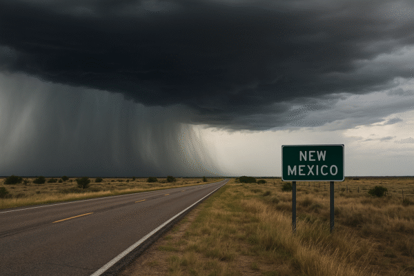
A Severe Thunderstorm Warning was issued early on August 31, 2025, by the National Weather Service in Albuquerque, covering several communities in eastern New Mexico, including Melrose, Grady, House, Saint Vrain, Tolar, McAlister, and Forrest. This warning, active from approximately 12:25 AM to 12:45 AM Mountain Daylight Time, highlights the threat of powerful wind gusts—up to 60 mph—and small hail, with storms moving southeast at around 25 mph.
What This Means for Tourists in Scenic New Mexico
These affected regions are not just local communities—they are often visited for their historic charm and natural attractions. Towns like Melrose and Grady, along with scenic spots such as Tolar and Saint Vrain, are popular with travelers exploring New Mexico’s landscapes. The storm’s path may disrupt travel plans, especially along Highway 60, particularly between mile markers 342 and 371.
Safety First: Recommendations for Travelers
If you’re in or heading toward the impacted areas, here are essential steps to protect yourself:
- Seek Shelter Immediately
Don’t wait for rain or lightning—dangerous winds can arrive early. Move indoors to a sturdy building or hard‑topped vehicle and stay away from windows. - Stay Informed
Monitor updates from the National Weather Service and local advisories using your phone or a battery‑powered NOAA weather radio. - Avoid Outdoor Activities
Postpone hiking, sightseeing, or any activities in exposed areas until the threat passes. - Delay Driving When Possible
Gusty winds and hail can impair visibility and vehicle control. If on the road, find a safe spot to pull over until conditions improve. - Confirm Accommodation Safety
If you’re staying at a hotel or rental, ensure it has a well‑built structure and a designated safe area. Inform staff of any alerts. - Pack Emergency Essentials
Have a flashlight, first‑aid kit, portable charger, and radio ready in case of power outages or prolonged sheltering.
Why Swift Action Matters
Thunderstorms can arrive faster and hit harder than expected. As the NWS points out, wind damage often precedes rain or lightning, meaning the risk starts early. New Mexico’s monsoon season brings sudden bursts of severe weather. Forecast discussions note that scattered storms, potential flash flooding, and local heavy rainfall are expected to continue into early September.
Looking Back: Flash Flood Risks in Context
Just last month, on July 8, 2025, the Ruidoso area suffered a historic flash flood that claimed three lives, caused multiple injuries, and damaged hundreds of homes. The rapid rise of the Rio Ruidoso in areas scorched by wildfires showed how quickly disaster can strike, reinforcing the importance of heeding watchful weather monitoring during monsoon season.
Final Takeaway for Tourists
New Mexico’s breathtaking landscapes—from hidden canyons to historic small towns—remain open and inviting. But this storm serves as a potent reminder: always prioritize safety when skies darken. Monitor conditions, shelter early, and be travel-flexible.
Whether you’re enjoying a quiet diner in Melrose, driving through Tolar’s open vistas, or cruising along Highway 60, staying alert can make the difference between a memorable adventure and a weather-related scare. Stay safe, travel smart—and let New Mexico’s beauty endure beyond this storm.
For more travel news like this, keep reading Global Travel Wire


