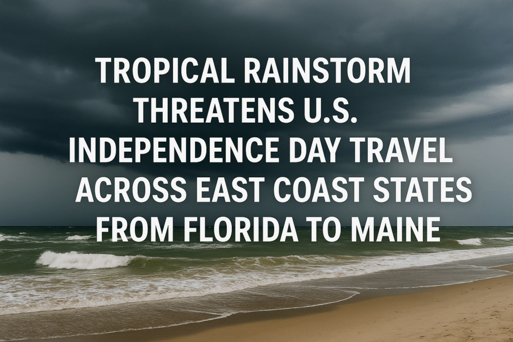
As millions of Americans prepare to celebrate the Independence Day weekend, a tropical rainstorm off the East Coast is threatening to upend travel and tourism plans from Florida to Maine. With coastal states including Delaware, New Jersey, Massachusetts, North Carolina, and Maine now under threat, this weather system could significantly impact air travel, cruise itineraries, and beachfront vacations across some of the most heavily visited U.S. destinations.
A Timed Threat: Holiday Storm Emerges
As of early July, the National Hurricane Center and local meteorologists have been closely tracking a tropical disturbance off the southeastern U.S. coast. Originally a loosely organized cluster of thunderstorms, the system has intensified over warm Atlantic waters, raising concerns that it could soon become Tropical Storm Chantal—the third named system of the 2025 Atlantic hurricane season.
The timing could not be worse. As Americans hit the roads and skies for the July 4th holiday, weather experts warn that this tropical threat may disrupt travel across several states, just as beaches, resorts, and major cities prepare for one of the busiest weekends of the summer.
Coastal Impacts Already Felt in Florida
Florida’s Atlantic coast, particularly cities like Daytona Beach and West Palm Beach, has already seen the storm’s early effects. Tourists and locals alike have reported strong surf, gusty winds, and fast-moving rain showers. The National Weather Service has issued advisories for rough surf and dangerous rip currents, urging beachgoers to exercise extreme caution.
Meanwhile, the Florida Department of Transportation (FDOT) is coordinating with local emergency management officials to monitor road conditions and advise travelers on potential flooding or traffic disruptions.
Will the Storm Be Named Chantal?
Meteorologists say conditions remain marginal for the system to develop into a fully-fledged tropical storm. While land proximity and upper-level wind shear may prevent rapid intensification, warm Gulf Stream waters—currently in the mid-80s Fahrenheit—continue to fuel storm development.
Should the storm reach tropical storm strength, it will be named Chantal, following Andrea and Barry, which formed earlier this season. Even if it fails to meet the threshold for naming, the system is expected to bring heavy rainfall, strong winds, and hazardous marine conditions along much of the Eastern Seaboard.
Travel Industry on High Alert
Major East Coast airports, including Miami International (MIA), Charleston International (CHS), Raleigh-Durham (RDU), and Boston Logan (BOS), are monitoring the storm closely. Airlines are preparing for potential delays and cancellations. Travelers are being urged to check flight statuses frequently, as Delta, American Airlines, and JetBlue consider issuing flexible change waivers in anticipation of weather disruptions.
Cruise lines operating out of Port Canaveral, Miami, and Jacksonville are reviewing itineraries as sea conditions deteriorate. Ships bound for the Bahamas and eastern Caribbean may be rerouted or delayed depending on the storm’s path.
Hospitality businesses—especially coastal resorts and beachside hotels—are also bracing for last-minute cancellations. According to local tourism boards in North Carolina, Delaware, and Maine, inquiries from concerned travelers have surged over the past 48 hours.
New Jersey, Delaware, and New England Could Be Next
As the storm tracks northward, mid-Atlantic and New England states may soon face its impacts. New Jersey, Delaware, and Massachusetts are forecast to receive periods of heavy rain, increased winds, and potential localized flooding by Sunday.
The Massachusetts Emergency Management Agency (MEMA) has activated its weather monitoring protocols and is urging holiday travelers to remain flexible and heed weather updates. Likewise, Maine’s Department of Inland Fisheries and Wildlife has advised that boating and outdoor recreation could be impacted by elevated winds and stormy conditions.
Storm to Collide with Heatwave Inland
Interestingly, the tropical system could interact with an existing heat dome stretching across the Appalachian region. As the storm’s cloud cover moves north, it may bring temporary relief from triple-digit heat in some areas, while simultaneously fueling unstable weather inland.
Areas in western North Carolina and eastern Tennessee may experience isolated thunderstorms and extreme humidity—posing an additional challenge for those planning inland adventures like hiking or rafting.
Pacific Region Also Monitored
While the Atlantic garners most attention, the National Hurricane Center (NHC) is also watching a separate system developing off the Pacific coast of Mexico. Though far from the U.S., the disturbance could affect Baja California tourism and cruise routes by next week. For now, the Atlantic system remains the primary concern for Independence Day travelers.
Advice for July 4th Travelers
Tourism officials across the U.S. East Coast are encouraging travelers to stay informed, flexible, and safety-conscious. Here are some key tips:
- Monitor the National Weather Service and NOAA Hurricane Center for real-time updates.
- Check flight status frequently and sign up for airline alerts.
- Call your hotel or resort ahead of time to confirm policies and emergency preparedness.
- Cruise passengers should be aware of itinerary changes and potential delays.
- Avoid swimming in rough surf and always heed local lifeguard warnings.
Final Outlook
With forecasts evolving by the hour, one thing is certain: this holiday weekend will not bring clear skies for all. Whether named Chantal or not, the Atlantic tropical rainstorm threatens to reshape travel plans for millions across the East Coast.
From Florida’s beaches to Maine’s rocky shores, tourism operators and travelers alike are adjusting to nature’s unpredictable agenda. As one of the busiest summer weekends begin, safety and flexibility remain the best travel companions.
For more travel news like this, keep reading Global Travel Wire


