


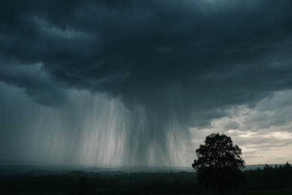
Canada has issued a critical travel warning for British Columbia, urging both residents and visitors to avoid non-essential travel as a powerful storm system intensifies. The province is facing a rare and disruptive mix of snow, rain, and high winds, severely impacting highways, airports, and overall transportation networks.
This extreme weather event, classified by Environment Canada as a high-impact winter storm, is creating hazardous conditions across urban and mountainous regions, with travel routes compromised by snow accumulation, flooding, and strong wind gusts. With weather conditions expected to worsen through the day and into the night, travel plans across British Columbia are in disarray, forcing cancellations and delays in both ground and air transportation.
Major Weather Threat Across Roads and Airports
The storm has brought up to 30 cm of snowfall in parts of the Interior and mountain corridors, particularly between Eagle Pass and Rogers Pass. These regions are under a snowfall warning, with visibility reduced to near-zero at times and road traction significantly compromised. Wind gusts reaching up to 90 km/h further complicate the situation, especially for high-elevation passes and exposed coastal highways.
Highways most affected include:
- Sea to Sky Highway (Squamish to Whistler): Low visibility and blowing snow
- Coquihalla Highway (Hope to Kamloops): Icy conditions and strong crosswinds
- Highway 3 (Hope to Princeton): Risk of snowdrifts and slippery surfaces
- Okanagan Connector: Blizzard-like conditions and potential closures
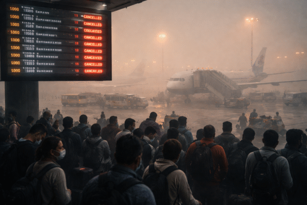
Airports across the region are also seeing the impact. Vancouver International Airport (YVR), Victoria International Airport (YYJ), and Kelowna International Airport (YLW) are experiencing delays and possible cancellations as crews battle snow and freezing rain on runways.
Metro Vancouver Faces Flooding Risk from Torrential Rain
While the Interior deals with snow, Metro Vancouver and the Fraser Valley are being hit by heavy rainfall, particularly in North Vancouver, West Vancouver, Coquitlam, and Maple Ridge. Accumulations of over 50 mm are expected in a short span, leading to water pooling on roads and flash flood risks in low-lying neighborhoods.
Howe Sound and the stretch from Squamish to Brandywine are forecasted to receive some of the heaviest rain. Storm drains are struggling to keep up, prompting warnings of localized flooding. Commuters are advised to stay off the roads or use extreme caution, especially during peak afternoon hours when visibility is expected to decline sharply.
Winds Threaten Coastal and Island Communities
Communities along the South Coast and Vancouver Island, including Greater Victoria, are experiencing intense wind events. Westerly gusts of up to 90 km/h are forecasted, particularly in open and marine-exposed areas like the Juan de Fuca Strait and Victoria Harbour.
Residents are warned of possible power outages due to downed trees and power lines. Ferries may also face delays or cancellations due to dangerous wind conditions across key marine corridors. Coastal travelers are urged to monitor marine advisories closely and secure any loose outdoor items.
Government Advisories and Public Safety Measures
In response to the storm, Environment Canada has issued multiple weather alerts across regions, including snowfall warnings, wind warnings, and high streamflow advisories. Public safety remains the highest priority, with citizens and tourists encouraged to postpone non-essential travel, stay indoors, and monitor official forecasts.
Authorities recommend preparing emergency kits, using snow tires, and avoiding mountainous areas unless absolutely necessary. Travelers should also check with DriveBC and airline websites for the latest information on closures and delays.
Implications for Tourism and Local Businesses
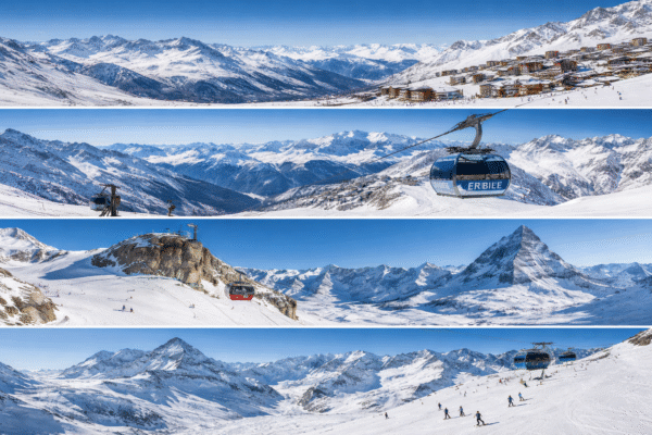
British Columbia, known for its winter tourism attractions and scenic roadways, is facing an economic setback as the storm disrupts key holiday travel plans. Local businesses, ski resorts, and hospitality providers are bracing for reduced footfall due to travel restrictions and public safety concerns.
Tour operators have begun rescheduling guided tours, while hotel bookings are being canceled or delayed. Though tourism officials remain hopeful for a rebound once weather conditions stabilize, the immediate priority is public safety and ensuring minimal disruption to essential services.
Storm Outlook: When Will Conditions Improve?
The current system is expected to taper off late Monday night into Tuesday, bringing a temporary reprieve. However, residual effects such as snow accumulation, icy road surfaces, and flooding may continue to affect travel through midweek. Travelers are advised not to assume conditions are safe immediately after snowfall stops, as road recovery and de-icing operations may take additional time.
The Interior will continue to experience scattered snow showers, while coastal regions may still see light rain. Winds in southern regions are forecast to decrease gradually by Tuesday afternoon, allowing for resumed ferry and air operations.
Key Takeaways:
- Up to 30 cm of snow in mountain highways; driving discouraged in high-impact areas
- Heavy rainfall in Metro Vancouver poses flash flood risks
- Winds up to 90 km/h expected in Greater Victoria and coastal areas
- Major highways under active weather warnings, with closures possible
- Airports and ferry routes facing delays and cancellations
- Tourists and residents are urged to follow advisories and avoid unnecessary travel
As British Columbia navigates through this intense winter storm, the focus remains on preparedness and public safety. For both residents and tourists, staying informed and cautious is essential. With better conditions expected by midweek, patience and flexibility will help ensure safe and manageable travel once the skies begin to clear.
For more travel news like this, keep reading Global Travel Wire