A strong earthquake off northern Venezuela on November 18 stirred brief concern across the Caribbean and parts of the United States. The magnitude-5.0 quake struck near Yaguaraparo at a depth of 123 km. Although the shaking was widely felt, officials quickly confirmed that there was no tsunami threat to the Caribbean, the Bahamas, or the U.S. East Coast.
What Happened Off the Coast of Venezuela?
The earthquake struck at 8:38 PM ET, shaking communities near Venezuela’s northern shoreline. According to regional authorities, this event aligned with ongoing seismic activity caused by the interaction between the Caribbean Plate and the South American Plate. The depth of the quake reduced its surface impact, though residents reported moderate shaking in nearby areas.
Emergency monitoring centers quickly assessed the situation. They found no signs of seafloor displacement, which is the main trigger for tsunami waves. As a result, no coastal alerts or evacuation notices were issued.
Why Was There No Tsunami Threat?
A tsunami requires a sudden, forceful shift in the ocean floor. Deep earthquakes—like this one—rarely create such movement. Because the quake happened 123 km below the surface, it lacked the conditions needed to generate a large displacement of water.
Regional and international agencies continue to track seismic activity through networks of sensors and ocean-based monitoring systems. These include deep-sea pressure devices and nearshore tide gauges used to detect unusual wave activity. None of these systems showed irregular readings after the quake, confirming that coastal regions remained safe.
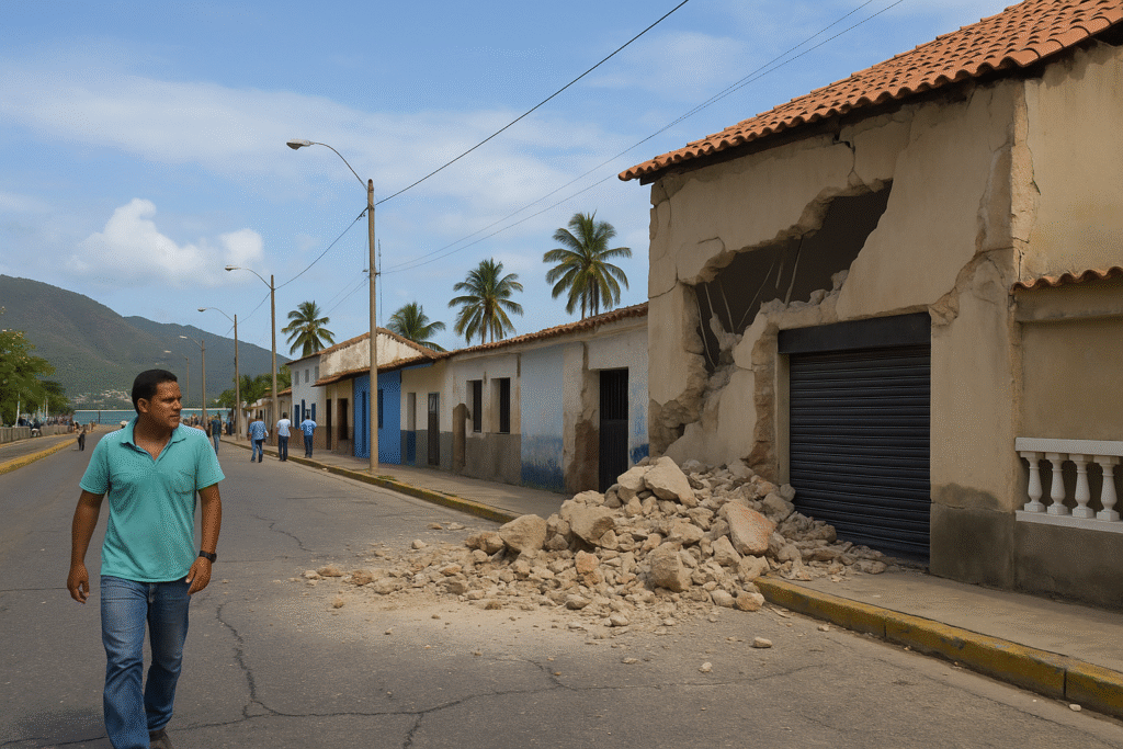
A Look at Venezuela’s Seismic Landscape
Northern Venezuela sits along several active fault lines. Two of the most prominent are the Boconó Fault and the El Pilar Fault. Both have produced significant earthquakes throughout history.
Major Historical Earthquakes
- 1812: A devastating quake affected Caracas and Mérida, causing widespread destruction.
- 1967: A powerful event near the central coast resulted in major damage to buildings and infrastructure.
These historic quakes highlight the vulnerability of the region, even though not every seismic event results in a tsunami threat. Communities in northern Venezuela often experience tremors due to the constant movement of tectonic plates beneath the region.
How Monitoring Agencies Responded
Seismic monitoring centers across the Americas reacted quickly to the November 18 earthquake. Their rapid assessments helped dispel rumors and provide accurate updates.
Role of Geological Agencies
Authorities rely on dense networks of ground sensors and satellite tools. These systems allow experts to evaluate quake intensity, depth, and possible impacts in real time. They also ensure fast communication to local and international emergency services.
Tsunami Monitoring Protocols
Ocean-based tools analyze pressure changes at various depths. If an unusual wave pattern forms, systems can instantly relay that information to coastal alert centers. During this event, all readings remained stable, confirming that coastlines were not in danger.
Understanding How Tsunamis Form
Tsunamis occur when a sudden undersea movement pushes water upward. This can result from shallow earthquakes, volcanic eruptions, or underwater landslides. Once triggered, tsunami waves can travel quickly across oceans, becoming larger as they approach shorelines.
Because the Venezuela quake took place deep underground without disturbing the seafloor, the conditions required for a tsunami were absent. This is why officials were confident in confirming that there was no threat to nearby regions.
Seismic Activity Across the Caribbean
The Caribbean region regularly experiences moderate earthquakes. Many occur near the boundaries of surrounding tectonic plates. Recent quakes have been recorded near Trinidad and Tobago, Puerto Rico, and the northern coast of Colombia. Despite this frequent activity, tsunami-generating events remain rare.
Modern monitoring tools have helped improve regional safety. Coastal countries now have stronger early-warning systems, disaster-response plans, and public communication channels. These improvements have reduced risk and improved preparedness throughout the region.
Preparedness in Earthquake-Prone Zones
Events like the Venezuela earthquake remind residents of the importance of readiness. Even when a tsunami does not follow a quake, preparedness helps reduce injuries and damage.
Key Preparedness Steps
- Secure heavy objects: Anchor furniture and appliances to prevent tipping.
- Create a home safety plan: Know safe spots away from windows and heavy items.
- Learn evacuation routes: Coastal communities should know high-ground locations.
- Stay informed: Follow official updates through emergency services and local authorities.
- Keep supplies ready: Store water, food, medicines, and flashlights for emergencies.
These practices can greatly improve safety in regions with active fault systems.
Regional Safety Confirmed After the Quake
Authorities have reiterated that this event poses no tsunami threat. Monitoring systems continue to scan the region as aftershocks remain possible, though none so far have triggered concerns. For residents in Venezuela, the Caribbean, and along the U.S. East Coast, the situation remains stable.
Conclusion
The November 18 Venezuela earthquake brought renewed attention to the region’s seismic activity. While the magnitude-5.0 quake raised initial questions about tsunami risk, all monitoring agencies confirmed there was no threat to coastal areas. With robust monitoring systems and increased awareness, the Caribbean region remains better prepared today than in past decades.
For more travel news like this, keep reading Global Travel Wire